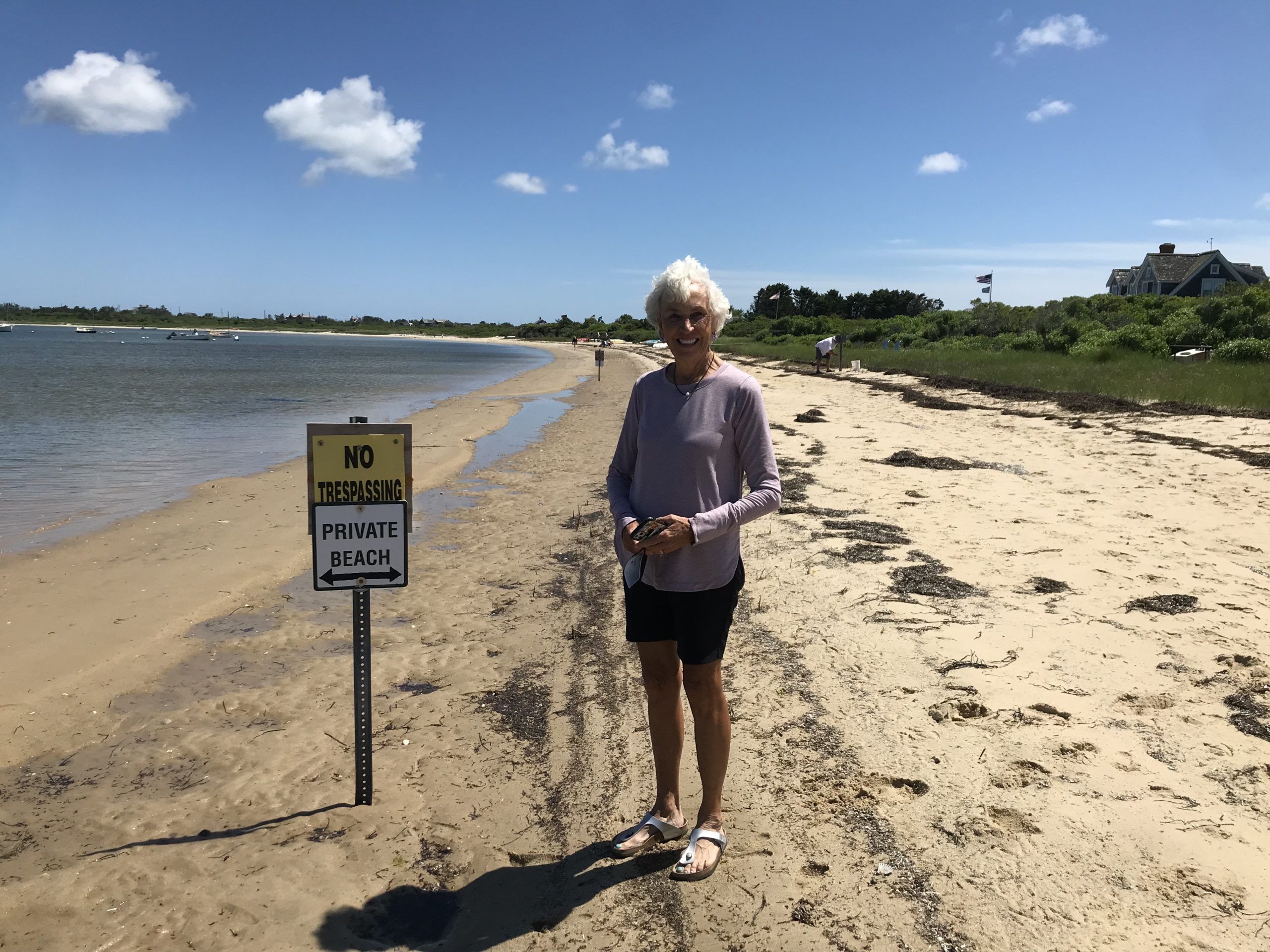
As the case of Boots and a Nantucket beachfronter altercation unfolds, the story starts to sound vaguely familiar …

P
eople who know Boots Tolsdorf know that she isn’t one to be crossed without repercussion. She cuts a prominent figure on the island, standing a head taller or more than most women, and with a voice that carries authority (possibly from all her years with the Royal Palm Players and being on a stage). But crossed she was last year while walking the beach near her summer home in Nantucket … and she was not only crossed, she was also assaulted. All because of about six feet of beach that is in question on that island and, in some cases, our island as well.
Boots was shelling along the waterline when she was accosted at a beachfront by a man who said she was in violation of the law by walking there. Boots said she was well below the low water line, which is where private ownership ends in Massachusetts. But the man continued to harass her, telling her to leave. Then he pushed her. Twice.
The man has been arrested and charged by Nantucket police with assault on a person over the age of 60, and the case was supposed to go to court last week. It was delayed due to the defendant claiming he had medical problems.
But Boots was ready then and she is ready now, complete with a lawyer by her side. The lawyer offered to represent her free of charge, as a case such as Boots’ could be precedent-setting at this point.
According to a reporter from GBH, an electronic news site from Boston’s public broadcasting service, many other incidents like Boots’ have occurred around Nantucket. One was a retired minister who was kayaking along the shore when he developed a leg cramp. He got out and went to shore to stretch his legs but was immediately told to leave … no matter the reason for his being there.
All it takes is one homeowner or, in some cases, a corporation, to try to impose this regulation on beaches, and soon others follow suit. GIS maps can be misleading to potential property owners, as in many cases it shows the property line going out into the water. In Florida the law states that all beaches are public from the mean high-water line down to the water, and that used to be a cut-and-dried rule. But in 2018 former Governor Rick Scott created House Bill 631 (now Florida Statute 163.035), which is known as the “Establishment of Recreational Customary Use.” It seemed like a good idea at the time, but now it has proven to make a touchy situation even touchier in the fact it can be interpreted in many ways … including ways that benefit the property owner, not the public.
Siesta Key has been in the news in the past few years for this reason. Property owners there have complained about diapers, drug needles and “trespassers having sex” on “their” property, and some have gone as far as to erect boulder barriers and hiring private security and professional surveyors to find their “exact” property lines.
The problem is the definition of the mean high-water line changes with every tide and every storm. In a very short span of time the same spot that was declared the mean high-water line by a professional surveyor could be underwater. The National Oceanic and Atmospheric Administration has defined the “mean high-water line” as “the mean average of all the high tides occurring over a 19-year period, called the National Tidal Datum Epoch.”
As we all know, what NOAA gives as a definition could very well be argued in court. Surveying an ever-changing landscape such as our beach every 19 years is a drastically minimalistic approach, especially if you’re a tourist who comes here only once in a lifetime to experience the beaches our island is world-renowned for. And while property owners who buy on the beach spend an exorbitant amount of money for their homes, they should also be aware that beaches are used by the public, except for a few circumstances.
Meanwhile, back on the very south end of Gasparilla Island, someone has placed a new sign at the property line between the state park and the new subdivision called Hill Tide Estates. It was created to look like a state park sign, but it has been confirmed that no state park employee erected it. Add this to the black wrought-iron fence that Hill Tide Estates has erected (again, supposedly to the mean high-water line, which means that sometimes it is in two feet of water) and a barrier that was placed under the pilings of their private dock that stretches into Charlotte Harbor, as well as the private security guards who have made no bones about the fact that they “own” that beach and it cannot be trespassed upon, and you have a case study in the making.
While that battle continues, so does the battle of Boots Tolsdorf. Her court case is supposed to be heard on August 11, and we will keep you posted on what’s going on.


